Kayak Fishing Supplies - 866-587-2990 - Your One Stop Shop
For Hobie related questions call 562-592-0800
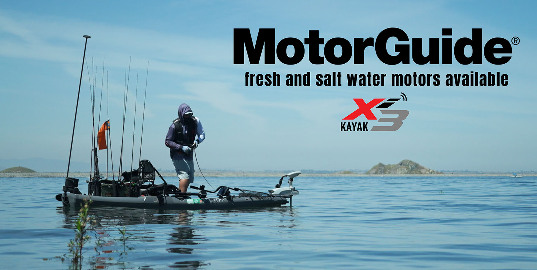
Kayak Fishing Supplies carries what we believe to be the best products on the market to outfit your kayak to enjoy your paddling/pedaling and electric motor experience from the recreational kayaker to the competitive tournament angler. Kayak Fishing Supplies prides itself in being a one stop shop for providing the best brands of kayaks, every necessary and optional accessory imaginable, and offering custom installation of these accessories and electronics.
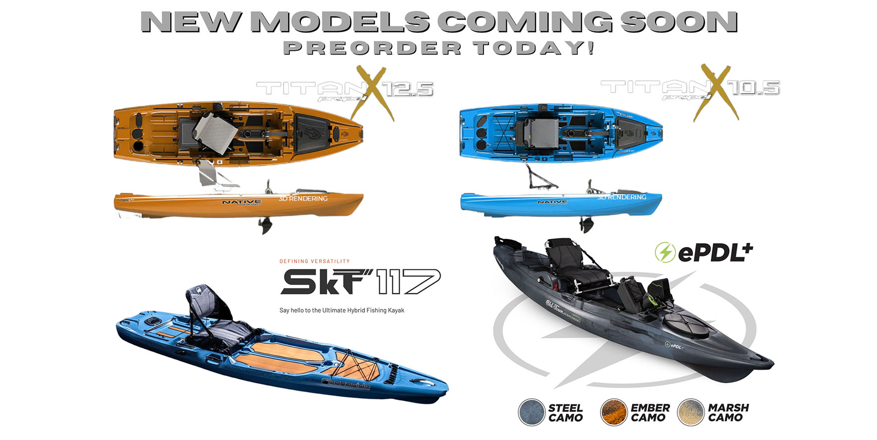
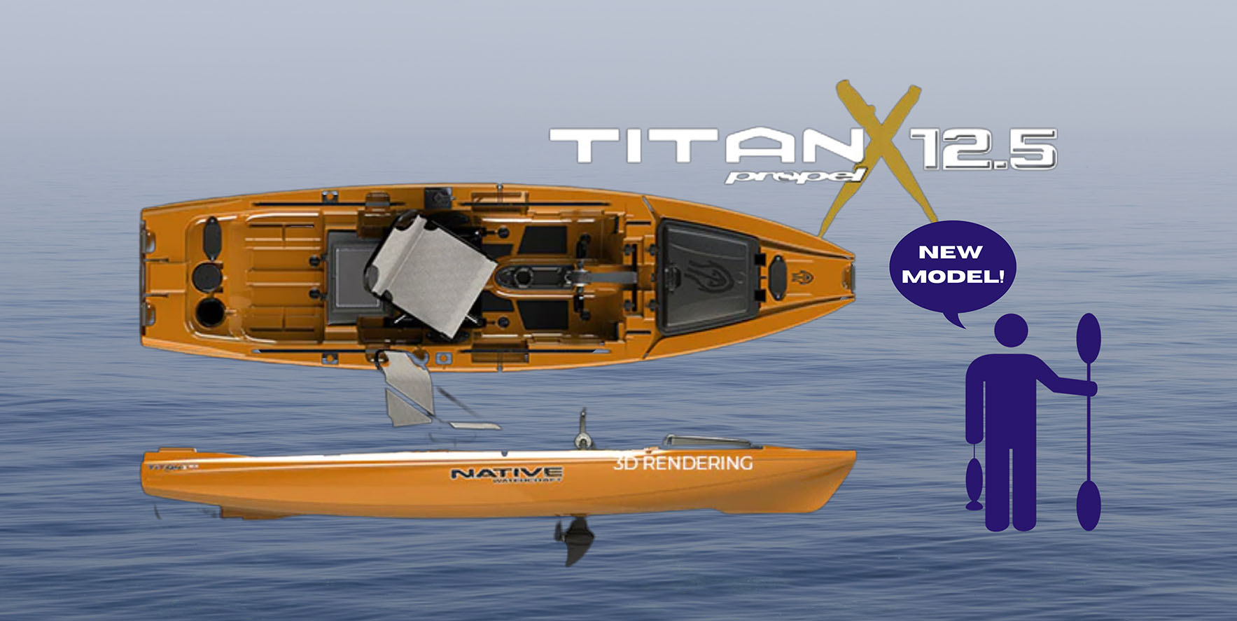
If kayak fishing is your thing, we are your store. You will find the latest and greatest innovations in kayak fishing here. If you are ever in Southern California, stop by one of our OEXbrick and mortar stores and say hi!